Best Hikes in São Miguel: Difficulty, Time & Practical Notes
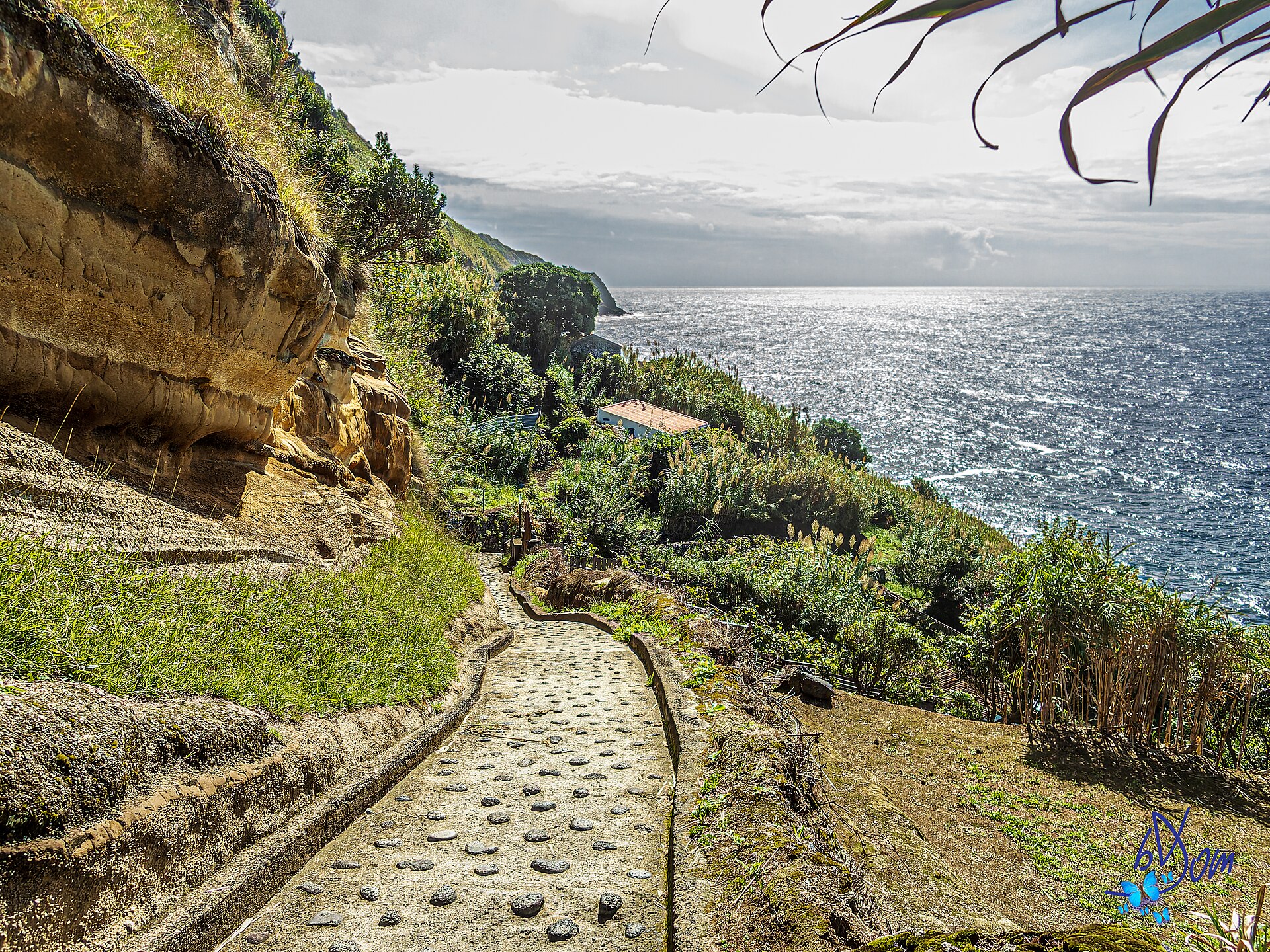
.jpg)
Short answer
The best hikes in São Miguel range from easy caldera strolls like Vista do Rei to Lagoa Azul to moderate trails like Lagoa do Fogo and Salto do Prego. Most hikes take 2–4 hours, and you should always check weather and trail conditions. A car is essential to reach trailheads, and starting early helps avoid crowds and fog.
Easy Hikes (1–2 hours, minimal elevation)
For a gentle introduction, head to Sete Cidades. The trail from Vista do Rei Viewpoint down to the Lagoa Azul area is mostly downhill and offers iconic views of the twin lakes. Travellers report that parking at coordinates 37.83500° N, 25.75857° W gives access to an easy, stroller-friendly pathway; if you find yourself climbing big steps, you're at the wrong start. Another easy option is the short walk around Lagoa das Furnas, which is flat and passes fumaroles and earth ovens.
- Vista do Rei to Lagoa Azul: 1–1.5 hours one way, easy
- Lagoa das Furnas loop: 1–2 hours, flat
- Boca do Inferno viewpoint from Lagoa do Canário: 30–45 minutes round trip, easy but rocky
Moderate Hikes (2–4 hours, some elevation)
Lagoa do Fogo is a favourite among travellers, offering a moderate hike with rewarding views. The trail from the south side (near Miradouro da Lagoa do Fogo) descends to the lake and takes about 2–3 hours round trip. Another moderate option is Salto do Prego, a waterfall hike near Faial da Terra, which takes about 2 hours round trip and includes river crossings. Travellers also recommend hiking to Lagoa do Congro, a quieter crater lake, about 1.5 hours round trip.
- Lagoa do Fogo: 2–3 hours, moderate, steep in places
- Salto do Prego: 2 hours, moderate, slippery when wet
- Lagoa do Congro: 1.5 hours, easy-moderate
Challenging Hikes (4+ hours, significant elevation)
For experienced hikers, the full caldera rim trail in Sete Cidades from Vista do Rei to Lomba do Vasco and down to the village takes about 3.5 hours and covers 10+ km with exposure to wind and sun. Another challenging option is the hike to Pico da Vara, the island's highest point, which takes 4–5 hours round trip and requires a taxi or arranged transport to the trailhead. Travellers report that trails are well maintained and marked, but weather can change rapidly.
- Sete Cidades caldera rim: 3.5 hours, 10 km, moderate-challenging
- Pico da Vara: 4–5 hours, challenging, steep
Practical Notes: Weather, Gear, and Access
Weather is unpredictable, especially outside summer. Check webcams (SpotAzores app) before driving to Sete Cidades or Lagoa do Fogo; if it's foggy, reschedule. Pack layers, a rain jacket, and sturdy hiking shoes. Travellers report that trails can be muddy and slippery after rain. A car is the practical way to reach most trailheads; public buses are limited and slow. Start hikes early to avoid crowds and afternoon fog.
- Best months: June–August for reliable weather; April–May and September for fewer crowds
- Essential gear: rain jacket, hiking shoes, water, snacks
- Access: rental car recommended; taxis can be arranged but are expensive
Where to Base Yourself
Base in Ponta Delgada for easy access to both west (Sete Cidades) and east (Furnas, Nordeste) hikes, but split your days to avoid long drives. For Lagoa do Fogo, staying in Ribeira Grande or Lagoa can shorten your morning drive. For Furnas hikes, consider staying in Furnas village to explore hot springs after your hike. Travellers report that 6–7 days is enough to leisurely explore the island by car, adding a day for each hike or spa activity.
- Ponta Delgada: central, good for west and east day trips
- Furnas: ideal for eastern hikes and thermal pools
- Ribeira Grande: closest to Lagoa do Fogo
Questions people ask
Do I need a car to reach the trailheads?
Yes, a car is the most practical way. Public buses are limited and slow, and taxis are expensive. Travellers report that without a car, you'd need to book tours or taxis to reach the nice hikes.
What is the easiest hike with the best views?
The Vista do Rei to Lagoa Azul area in Sete Cidades is easy and offers iconic views. Park at the coordinates 37.83500° N, 25.75857° W for the stroller-friendly path.
Can I swim in Lagoa do Fogo?
Swimming is not recommended due to potential algae; check the official Azores government FAQ for safety updates. Travellers report that it's better to enjoy the views and hike instead.
How long does the Lagoa do Fogo hike take?
The moderate hike from the south side takes about 2–3 hours round trip. It's steep in places and can be slippery when wet.
When is the best time to hike in São Miguel?
June to August offers the most reliable weather, but April–May and September have fewer crowds and blooming hydrangeas. Always pack layers and a rain jacket.
Compiled from OpenStreetMap, Wikivoyage and traveller reports. Confirm prices and opening hours locally. About
Keep planning
3-Day São Miguel Itinerary for First-Timers
A realistic day-by-day plan for first-timers in São Miguel, with driving logic, key sights, and local tips.
5-Day São Miguel Itinerary: North Coast, Nordeste, Slow Days
A relaxed 5-day São Miguel plan with the north coast, Nordeste and buffer time, based in Ponta Delgada with a car.
São Miguel Weather: Fog, Rain & Microclimates Guide
How to handle São Miguel's unpredictable weather with flexible planning, webcams, and microclimate tips.